
Check the Level
Being aware of the water level is vital to a safe and enjoyable Cheat River experience. All points on the Water Trail are referenced from the USGS gauge in Parsons and are measured in cubic feet per second (cfs).
Weather Conditions
Safety Resources
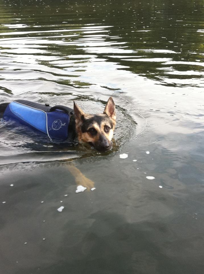
While the Upper Cheat is family-friendly with Class I and II rapids, knowledge of river safety is a must. Follow the links for safety tips and river reading basics.
CAUTION – EXPERIENCED PADDLERS ONLY
The CRWT segment, Hendricks to CJ’s Pizza, has been classified as “Intermediate.” This section includes fast moving water containing various rocks, holes, currents, and waves that require skillful maneuvering to avoid. Swimmers could be at risk and may require help.
Water Level Guide
- Less than 100cfs: Water is too low for paddling.
- 100-250cfs: Water is crystal clear and beautiful! Great for hot summer days when getting out of your boat is fun. It will be necessary to get out of the boat and drag through shallow areas – we recommend short trips. This water level is good for tubing.
- 250-500cfs: At this level the river is still low and may require some dragging. The fish are biting in the deeper holes.
- 500-1,000cfs: A great water level. The potential still exists to get hung up on some rocks – learning to read the river really helps!
- 1000-5000cfs: The river is moving more rapidly, meaning less paddling and more floating. Stay away from river banks to avoid tree limbs (strainers) and other hidden debris just under the surface of the water.
- 5,000-8,000cfs: Water is moving fast. This level requires boating experience and knowledge of river safety.
- 8,000+cfs: EXPERTS ONLY. Water moving at this level is extremely swift and requires expert knowledge and experience to negotiate. Do not overestimate your skill level and avoid putting your life in danger!
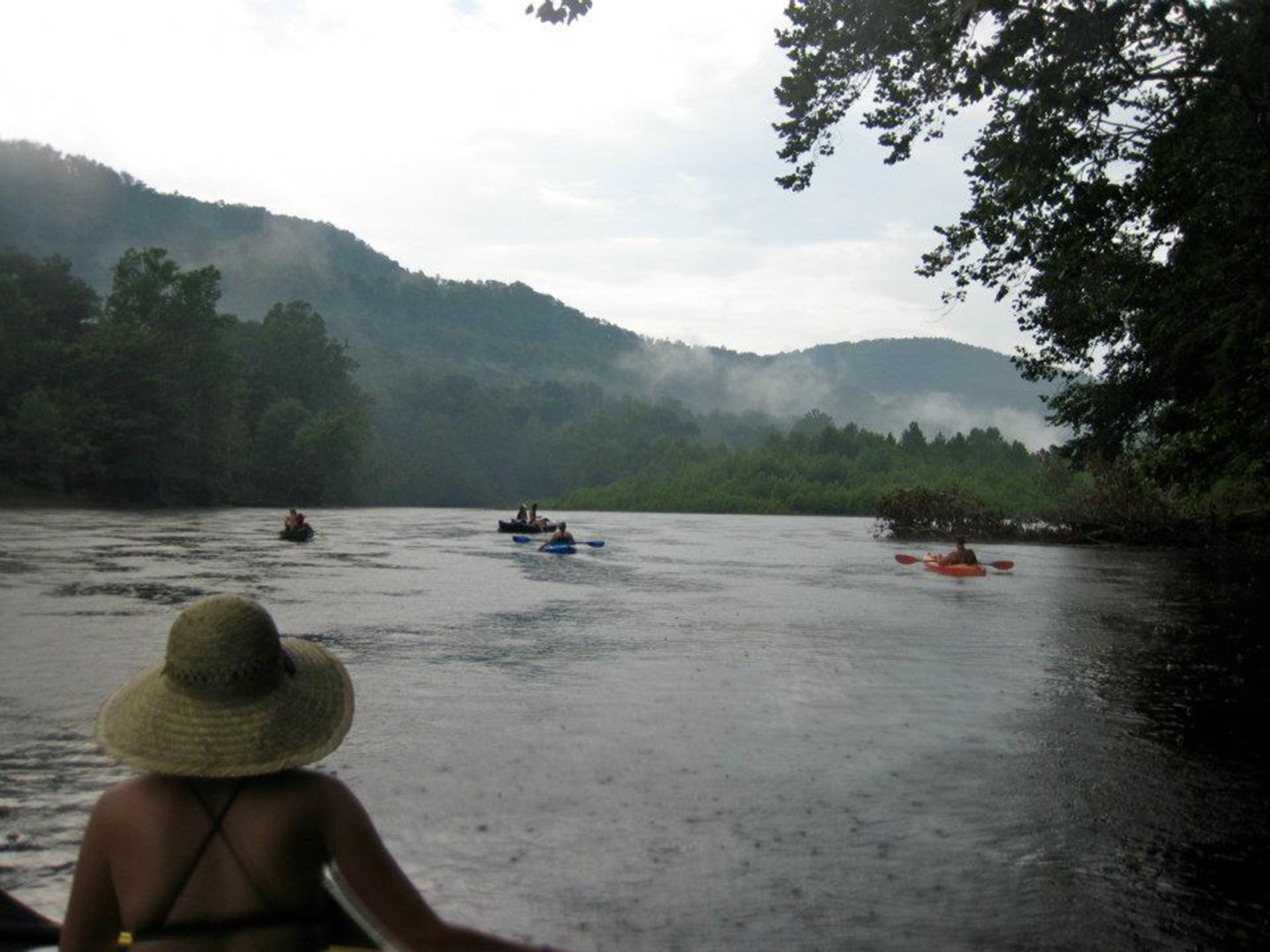
Remain Weather Weary
Keep in mind there are 70 miles of untamed waterways upstream of the Water Trail – a sudden storm or
high water event miles away can cause the river to rise several feet in just an hour. Flash flooding can occur during heavy downpours due to the steep topography into which the Cheat is nestled. However, this is part of the beauty of paddling one of the longest unregulated watersheds in Appalachia.